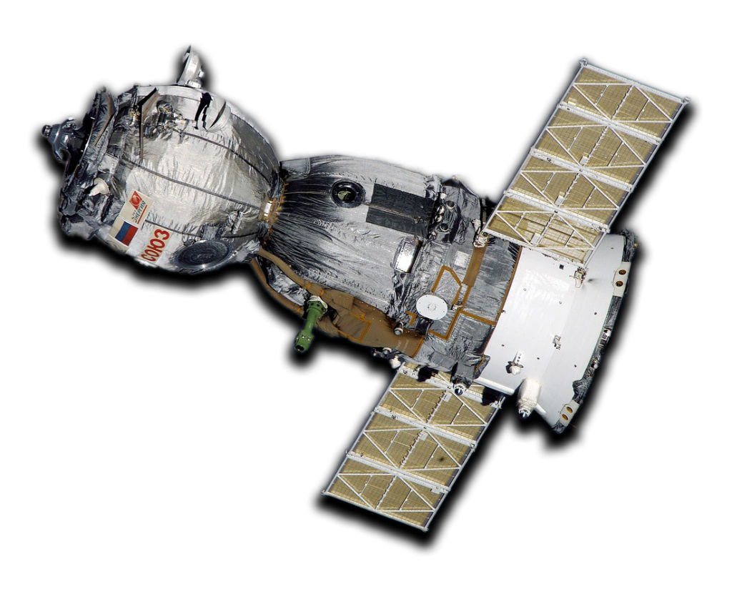
S2S is a cutting-edge satellite data engine that simplifies the process of accessing and utilizing satellite-derived information for a wide range of purposes.
Based on customers input for their analysis criteria, the S2S engine efficiently explores its extensive database to retrieve historical, current, and upcoming data. Additionally, it identifies prospective satellite service providers.
A sophisticated 3D graphical dashboard is provided to users, presenting dynamic real-time data visualization, comprehensive insights, and weekly performance reports derived from the requested data parameters.
We sustain
S2S invests a significant portion of the revenue into satellite infrastructure improvement: by upgrading and expanding the current satellite sistems we can broaden our coverage areas and offer data services to more regions.
Effective investment
One of the advantage of investing in S2S is the process of researching: we ensure that the customer obtains the necessary data for their analysis efficiently and economically, maximizing return on investment and reducing waste. This process requires a combination of data analysis, financial monitoring and flexibility in adapting to real-time conditions.
AI based
S2S employs advanced data processing techniques, including artificial intelligence and machine learning algorithms, to extract valuable insights from the vast amount of satellite data. This may involve tasks such as image classification, object detection, anomaly detection, and more.
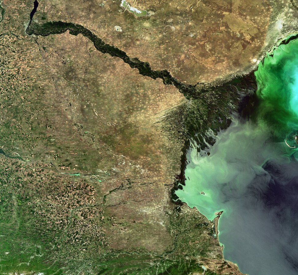
Precision Geospatial Data: S2S offers companies precise and tailored geospatial data collection within specific geographic areas.
Cost-Effective: Optimize technological investments by focusing on targeted geographical regions, ensuring efficient resource allocation.
Strategic Research and Development: Facilitate strategic partnerships and investments through smart contracts, promoting advancements in geospatial data collection and development.