S2S leverages satellite data for monitoring, forecasting, resource optimization and it is a valuable tool for addressing critical challenges across various industries and regions.
The process of gathering and optimizing data used by S2S involves a combination of software tools and technologies
ArcGIS offers a comprehensive set of tools and capabilities for 3D image mapping, making it a powerful choice for professionals.
Google Earth Engine serves as a powerful platform that leverages radar satellite data to provides a rich source of information that supports decision-making processes across a wide range of applications.
A robust DBMS is crucial for storing and managing the vast amount of satellite data efficiently: PostgreSQL is an open-source relational database management system known for its scalability and support for geospatial data.
Energy
S2S can assist renewable energy companies in identifying suitable locations for projects like solar and wind farms. It can detect leaks, assess integrity, helping companies prevent environmental disasters and costly repairs.
Agriculture
S2S can be useful to farmers and agricultural enterprises by providing real-time insights into crop health. Farmers can benefit from yield forecasting helping them plan harvesting and distribution more effectively.
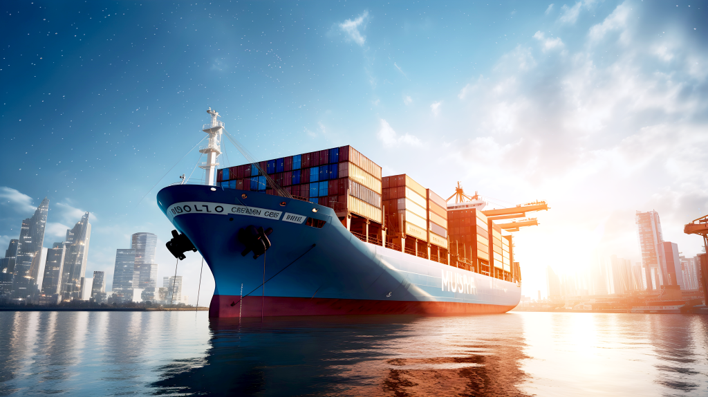
Maritime
S2S is a valuable tool for maritime companies, port authorities, and shipping agencies in monitoring and optimizing shipping routes. It can help ensure vessel safety, efficiency, and compliance with regulations.
Technology
S2S invests in the satellite infrastructure to ensure long-term sustainability, and contributes to technological advancement, allowing it to serve the customers effectively.
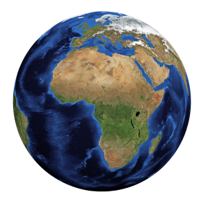
Environment
S2S can be used to monitor environmental conditions and changes. It can be used to track deforestation, assess land use changes, and contribute to environmental conservation efforts.
Resources
S2S contributes to efficient water use by identifying problems such as over or under-watering, ensuring optimal water resource utilization.
User Interface
By implementing a 3D satellite data visualization system with real-time data updates, users gain a powerful tool to monitor and respond to dynamic, real-world events and conditions.
3D visualization
3D maps provide a more realistic and intuitive representation of geographical and environmental features compared to traditional 2D maps.
This enhances an understanding of spatial relationships and topography.